Manage commoners' grazing rights with live data
Flockarewe gives a commoners' council or managing agent a single, live view of every commoner's stock across the common, with polygon boundaries, stocking density, stint compliance, planned-vs-actual stocking and audit-ready evidence packs for DEFRA, Natural England and the RPA. Built for thousands of animals on open moorland, over LoRa, where there's no signal.
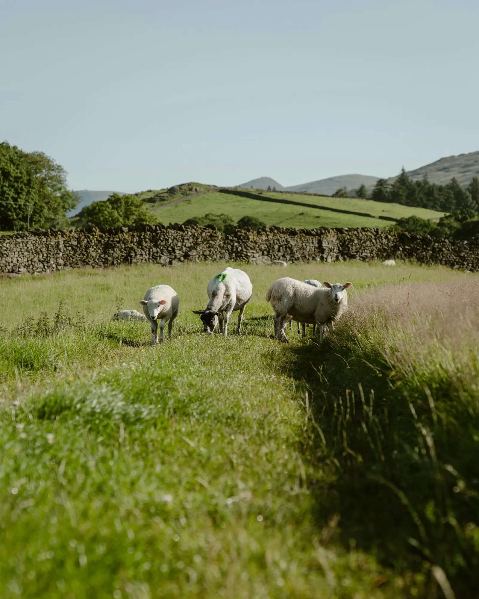
Every commoner in one view
A managing party sees all commoners' animals across the common at once, who's turned out what, and where.
Polygon common boundaries
Map each common as a precise polygon (drawn by hand or imported from GeoJSON), not a rough circle, and count livestock inside it live.
Stint & stocking compliance
Each commoner's agreed stint is tracked against their actual head count, with over-stint and over-limit breaches flagged automatically.
Planned vs actual stocking
Set a stocking calendar per common and season; we compare it to the GPS-tracked actual grazing, the evidence-based stocking record agri-environment schemes now require.
Audit-ready evidence packs
Every change is logged; generate a printable per-common evidence pack, grazing summary, stocking compliance, breaches and signed declarations, and a read-only link for an officer.
SSSI condition monitoring
Track SSSI / SAC / SPA condition against live grazing density, log Common Standards Monitoring surveys, and flag under-grazing (wildfire) and over-grazing.
Evidence-based grazing, ready for agri-environment
Common land sits at the centre of England's upland agri-environment policy, and the rules now demand evidence, not anecdote. After the Dartmoor ruling, stocking decisions must be defensible; Natural England has an SSSI condition deadline; and the RPA is moving to continuous “checks-by-monitoring”. Flockarewe turns live GPS/LoRa grazing data into exactly that evidence base.
- Planned vs actual stockingA defensible, GPS-backed stocking record per common and season.
- Auditable change logWho changed what and when, retained for 7 years.
- Evidence packsOne-click printable pack per common; read-only links for an officer.
- SSSI conditionDesignated-site condition tracked against real grazing density.
- Signed declarationsImmutable annual declarations for the agreement year.
- LIS-ready movementsMovement export enriched with commoner & holding context.
Oversight for the managing party, visibility for each commoner
On commons like Dartmoor, many graziers turn stock onto shared land under agreed stints. Keeping that fair and within carrying capacity has always meant headcounts, paperwork and disputes. Flockarewe replaces that with live data: animals are attributed to each commoner, tracked over LoRa across the whole moor, and counted inside each common's polygon boundary in real time.
The managing party gets a dashboard of every common and every commoner, head counts, stocking density per hectare, and automatic flags when a commoner exceeds their stint or animals stray off the common. Seasonal reports total animal-days per common and per commoner over any date range, giving an auditable record for governance and payments. Each commoner can have a read-only login to see only their own stock and stint.
Boundaries import straight from GeoJSON, or are drawn on the map with OS grid-reference search. It all runs on the same platform as Flockarewe's livestock tracking.
Commons grazing, FAQs
What is commons grazing management?
On registered common land, multiple commoners hold rights to graze a set number of animals (a 'stint'). Managing those rights, who grazes what, where, and whether they stay within their stint, is commons grazing management. Flockarewe gives the managing party (e.g. a commoners' council) a live, evidence-backed view of all of it.
How do you monitor commoners' grazing rights?
Each animal is attributed to a commoner and tracked with a LoRa ear tag or collar. Flockarewe counts how many of each commoner's animals are on each common in real time, compares it to their agreed stint, and flags breaches, plus builds seasonal animal-day reports.
Can it handle large open moorland with no signal?
Yes, this is exactly what LoRa is for. Tags report to gateways across the moor with no mobile signal and no SIM per animal, so thousands of animals can be tracked across open common land affordably.
Can each commoner see their own stock?
Yes. Commoners can be given a read-only login that shows only their own animals, their stint status, and where their stock are grazing, without seeing anyone else's.
Can we import our registered common boundaries?
Yes. Common-land boundaries can be imported from a GeoJSON file in one step, or drawn on the map by hand (with OS grid-reference search) where boundary data isn't to hand.
Does it produce evidence for agri-environment schemes and RPA audits?
Yes. Every change is recorded in an immutable audit log (retained 7 years), and you can generate a printable evidence pack per common, grazing summary, planned-vs-actual stocking, breaches, signed annual declarations and the change log, plus CSV/LIS-ready movement exports. It's built to satisfy SFI / Countryside Stewardship record-keeping and the RPA's move to continuous monitoring.
Can a Natural England or RPA officer see the data without an account?
Yes. You can create a revocable, read-only link to a single common's compliance dashboard and evidence pack, an officer opens it in a browser, no login required.
Does it help with SSSI condition and conservation grazing?
Yes. Record SSSI / SAC / SPA designations and their Common Standards Monitoring condition, log field surveys, and see condition against live grazing density, including under-grazing (wildfire fuel-load) and over-grazing flags. After the Dartmoor case, this gives a science-based, defensible stocking record.
Managing a common?
We'll show you how Flockarewe handles your commoners, boundaries and stints.
Talk to us →